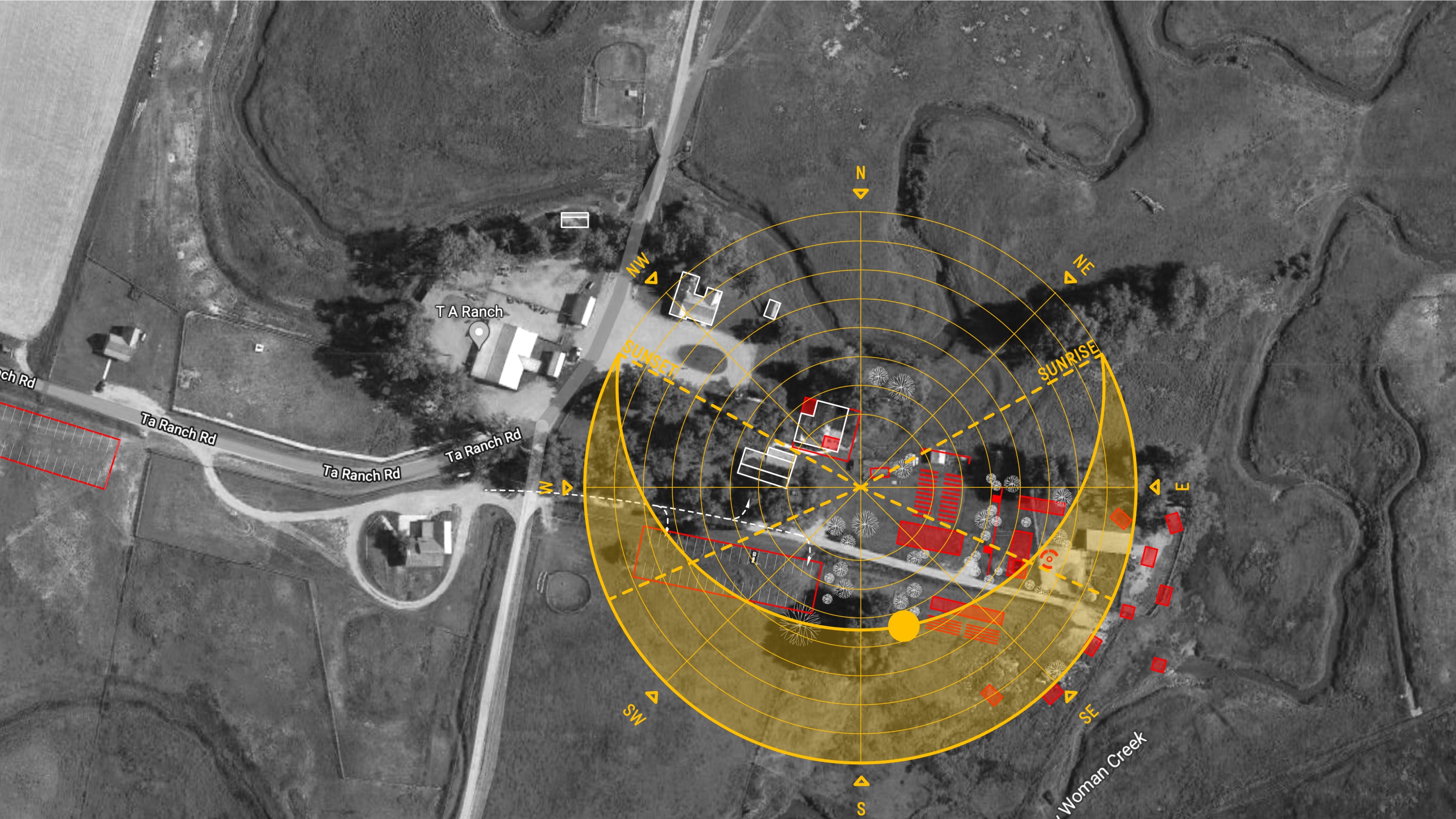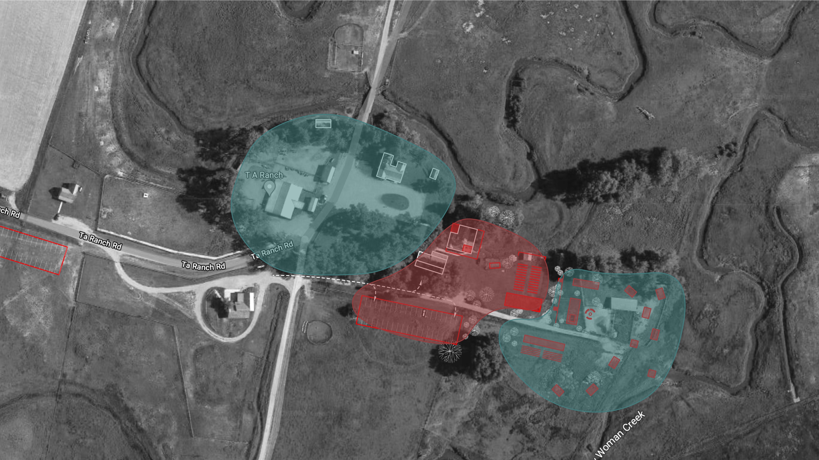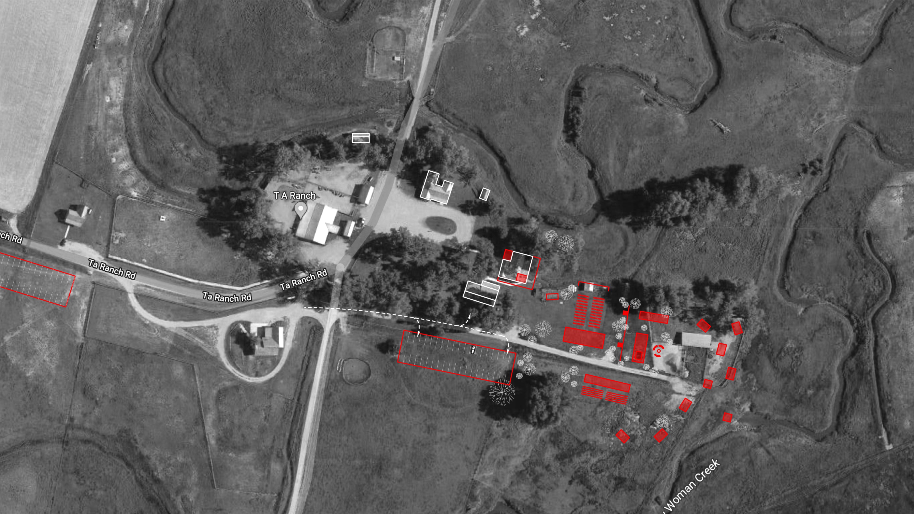
TA Guest Ranch
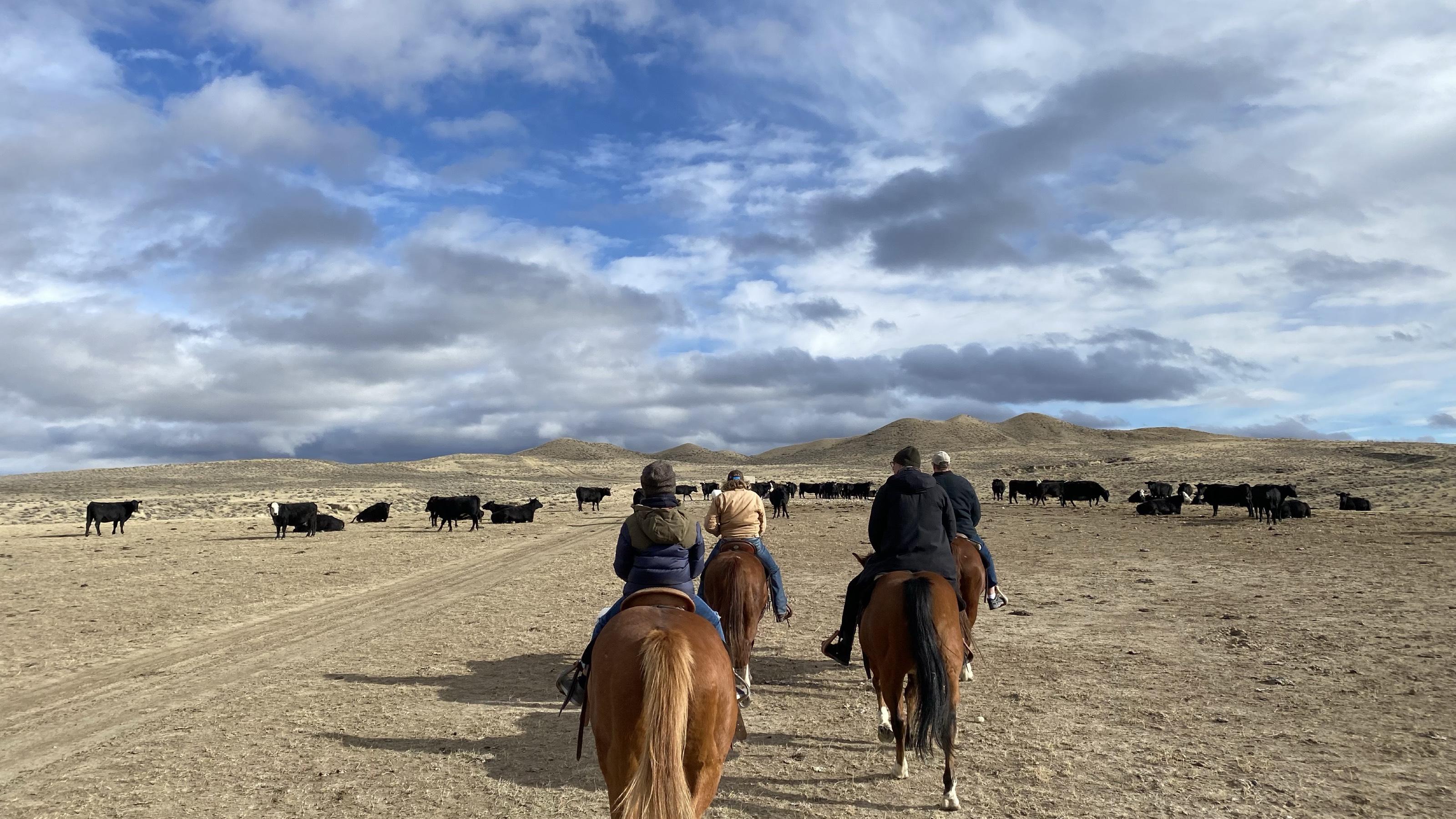
TA Guest Ranch is a marvelous place. It is owned and operated by a fourth-generation Wyoming family who embody the warm hearth and gritty resolve that have kept the ranch running since 1882.
The ranch sits at the eastern foothill of the Bighorn Mountains, near a narrow pass the funnels the broad Wyoming plain to Ten Sleep, an ancestral meeting point approximately 10 days, or 10 sleeps, from Sioux camps along the Platte River.
These plains attracted white settlers expanding west along the Orgeon Trail, and later became an important site for cattle ranchers scratching a living from highland scruff.
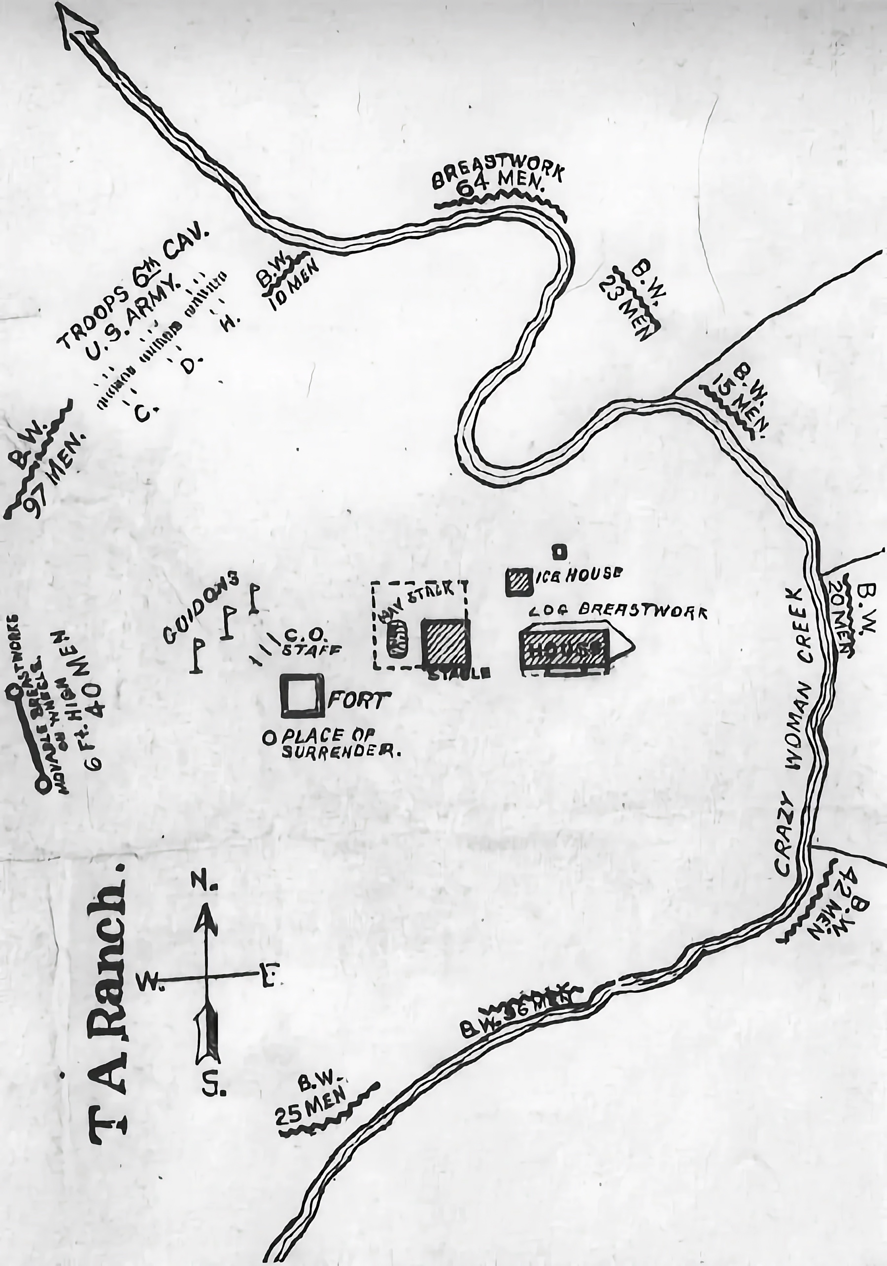
TA Ranch is the site of the 1892 Johnson County War—between local farms and Texas ranchers—and is a Smithsonian Institute National Landmark.